
Description
- DISPLAY SIZE: 1.5″W x 2.5″H (3.8 x 6.3 cm); 3″ diag (7.6 cm)
- BATTERY TYPE: Rechargeable, internal lithium-ion
- WATER RATING: IPX7
- MEMORY/HISTORY: 16 GB (user space varies based on included mapping)
- EXTERNAL MEMORY STORAGE: (32 GB max microSD card)
- WAYPOINTS/FAVORITES/LOCATIONS: 10000
- TRACKS: 250
- TRACK LOG: 20000 points, 250 saved gpx tracks, 300 saved fit activities
- ROUTES: 250, 250 points per route; 50 points auto routing
- WIRELESS CONNECTIVITY: yes (Wi-Fi®, BLUETOOTH®, ANT+®)
Product Specifications
| Type | Wireless |
| 3-Axis Electronic Compass | Yes |
| Barometric Altimeter | Yes |
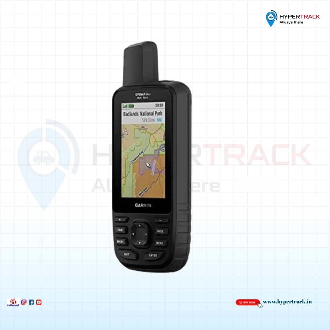
Garmin GPSMAP 66SR – Multi-Band GNSS Handheld GPS for Extreme Outdoor Navigation
Precision. Durability. Performance.
The Garmin GPSMAP 66SR is a premium, high-accuracy handheld GPS device built for outdoor adventurers, hikers, mountaineers, field surveyors, and rescue professionals who require exceptional satellite precision, rugged durability, and long-lasting battery life in the harshest environments.
Featuring multi-band GNSS technology, TopoActive maps, ABC sensors, and a high-resolution 3-inch color display, the GPSMAP 66SR ensures fast and reliable positioning, even in dense forests, deep valleys, and urban canyons. Whether you’re exploring off-grid terrain or mapping uncharted routes, the GPSMAP 66SR is your trusted navigation companion.
Key Features of Garmin GPSMAP 66SR
✅ Sunlight-Readable, Large 3-Inch Display
- High-resolution color screen delivers excellent readability in direct sunlight and low-light conditions.
✅ Multi-Band GNSS Accuracy
- Supports GPS, GLONASS, Galileo, QZSS, and IRNSS with multi-frequency reception for improved accuracy in challenging environments.
✅ Preloaded TopoActive Maps + Satellite Imagery
- Comes with detailed terrain, trails, elevation, and street data (region-specific).
- Includes BirdsEye Satellite Imagery—subscription-free.
- Supports additional maps via microSD, including Garmin City Navigator® and custom raster maps.
✅ Advanced ABC Sensors
- Altimeter, barometer, and 3-axis compass for enhanced navigation and weather tracking.
✅ Powerful Rechargeable Battery
- Up to 36 hours in GPS mode, and weeks in expedition mode with the built-in lithium battery.
✅ Smartphone Sync & Live Weather
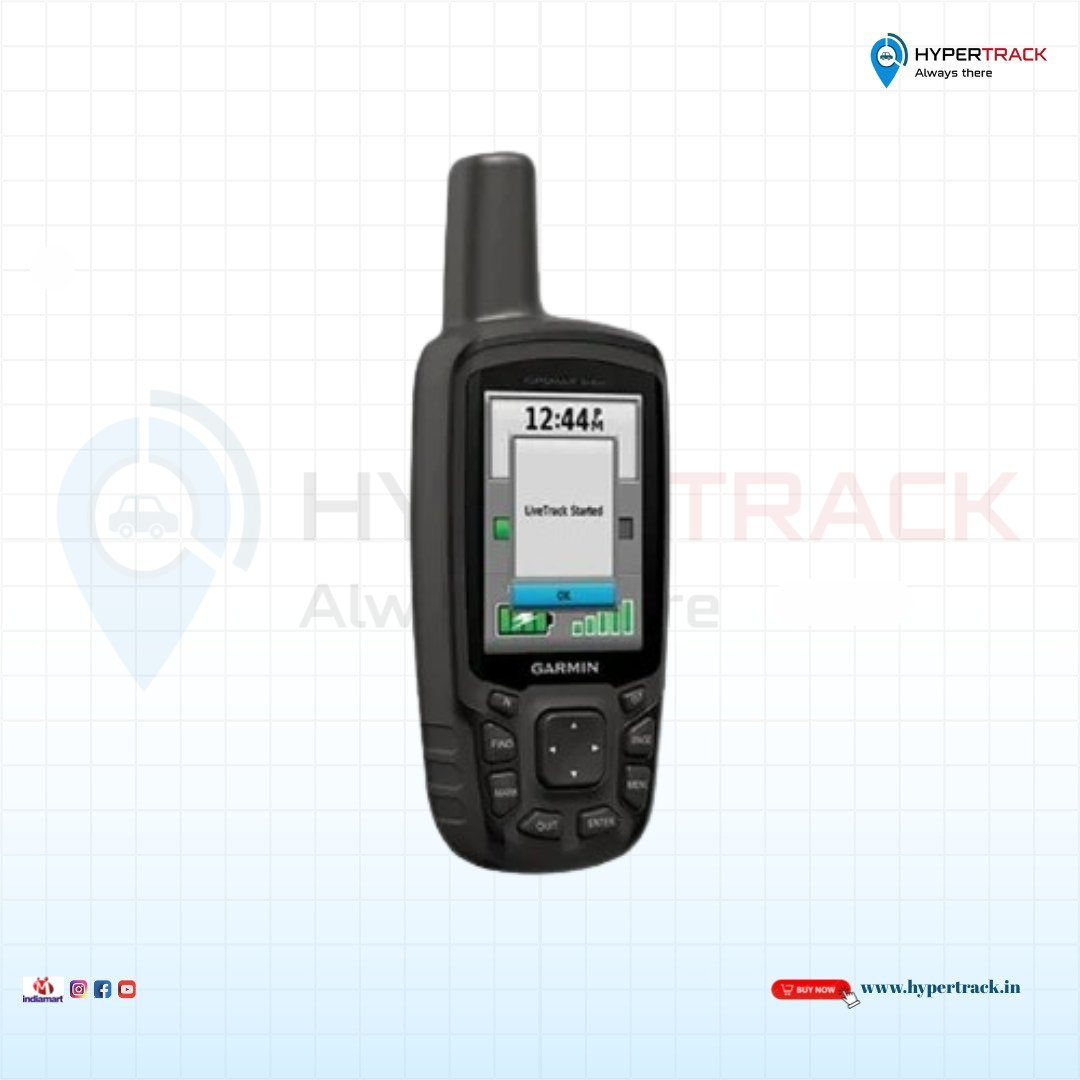
- Sync with the Garmin Explore™ app for wireless route planning and cloud data management.
- Get live weather forecasts, radar maps, and automatic geocache updates when connected.
✅ Rugged and Weatherproof Design
- Rated IPX7 waterproof and compliant with MIL-STD-810 military standards for durability against shocks, drops, and extreme conditions.
✅ Built-In LED Flashlight + SOS Mode
- Use the onboard flashlight for night visibility or activate SOS strobe light in emergencies.
✅ Wi-Fi, Bluetooth & ANT+ Connectivity
- Fast wireless updates and seamless data sharing between compatible devices.
Who Should Choose Garmin GPSMAP 66SR?
- Hikers and backpackers seeking an ultra-reliable GPS with long battery life and superior tracking.
- Field engineers and surveyors working in dense or obstructed environments.
- Search-and-rescue teams needing emergency tools and precise geolocation.
- Expedition leaders and off-grid travelers who require advanced navigation technology.
Why Garmin GPSMAP 66SR is the Best Choice for Outdoor Navigation
Whether you’re planning a multi-day trek, leading a mountain expedition, or navigating through remote terrain, the Garmin GPSMAP 66SR is engineered for adventure without limits. Combining cutting-edge GNSS accuracy, military-grade durability, and intelligent mapping tools, it’s the perfect handheld GPS device for professionals and extreme outdoor enthusiasts alike.


Reviews
There are no reviews yet.